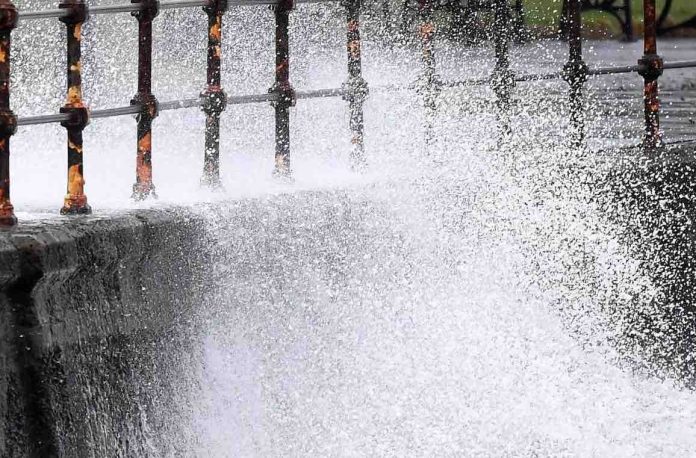
Deputy Chief Meteorologist Dan Harris described a build-up of increasingly worse weather with it reaching a climax by Wednesday. He said: “It now looks very likely that we will see a major change in the UK’s weather early in the week ahead. We expect spells of wet and windy weather to sweep across the UK from the southwest from Tuesday, although at the moment there is uncertainty around the timing and the focus for the heaviest rain and strong winds by Wednesday as Storm Diana approaches our shores.”
Met Office meteorologist Craig Snell explained the entire UK will see Monday start with low temperatures with the possibility for ice in some areas.
He said: “Monday morning is set to start cold for many of us.
“We will see some mist and fog patches across Midland and the south of England.
“For parts of Scotland and Northern England we could just see a few ice patches on any untreated surfaces.”
“The West bright, but cold start of the day here.”
He later added that some parts of the UK will start the day out with showers.
Mr Snell said: “A few showers also across eastern parts of Northern Ireland and downs the eastern seaboard of England, but elsewhere generally dry and sunny start today where we could see some mist and fog patches across Wales, the Midlands and the West Country and this will only slowly cleat as we head through the morning hours of Monday.”
The meteorologist explained conditions were not likely to improve much as the day goes on.
He said: “Going into Monday afternoon, very little change really, continuing the risk of some showers right up the eastern seaboard of the UK and, again, across eastern parts of Northern Ireland.
“But elsewhere it is a dry and also sunnier day than over the weekend.
“Lots of sunshine around in the West.
“And with lighter winds it will feel a little bit less cold in the West with highs reaching seven to nine degrees.
“We’re still potentially on the chilly side if you do live along the east coast of the United Kingdom.”
The evening will also remain the same with parts of the UK at continued risk of showers.
The meteorologist said: “Going into Monday evening, very little change once again.
“Still the risk of some showers across the east although they should gradually begin to fade a little bit as we go through the course of the Monday evening hours and into Tuesday morning, but,also, we need to watch out for some mist and fog reforming across parts of the Midlands and control-southern England.”
Mr Snell finished by explaining that Tuesday was likely to be the same as Monday with a cold start and the possibility of heavy rain throughout the country.
He said: “Going into Tuesday after a potentially misty and foggy start for some of us, all eyes turn to the West as we go through the course of the day, this band of heavy rain and strong winds will work its way in from the Atlantic as we go through the course of the day.
“It won’t reach the majority of the east of England and, also, the majority of Scotland until after dark, so there is a sunny, but chilly day to come.”


