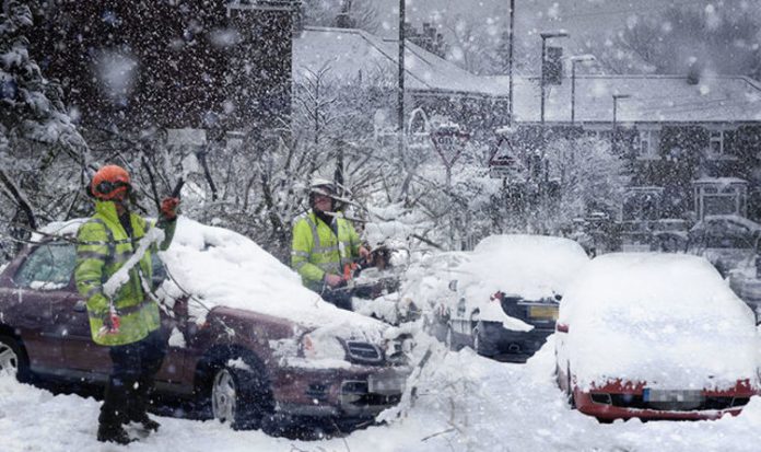
Motorists, cyclists and pedestrians were urged to take care on roads and pavements this morning after a cold snap covered parts swathes of Britain in thick ice sheets.
A series of severe weather warnings for snow and ice have been issued by the Met Office this week as harsh winter weather has caused misery and dangerous conditions across the UK.
Temperatures have plunged below freezing this week and look set to remain sub-zero going forward, promoting a “severe weather action” alert by Public Health England.
An overnight low of minus 9C (15.8F) was recorded in Aboyne, a village on the edge of the Highlands in Aberdeenshire, while Cavendish in Suffolk was hit by temperatures of minus 5C (23F).
Severe weather is forecast to continue into the weekend with unsettled conditions expected widely, according to the Met Office.
A weather prediction chart shows how a large low pressure system swirling through the Atlantic Ocean is expected to impact the UK on Saturday.
Scotland is forecast to be worst affected by the severe weather, with torrential rain, strong winds and a chance of snow showers in northern regions on Saturday.
Forecast charts suggest no region will be immune to heavy showers on Saturday as the low pressure system sweeps through the UK towards mainland Europe.
The Met Office is yet to name a storm, but will do so if the low pressure system has the potential to cause amber “be prepared” or red “take action” warnings.
A Met Office spokesman said: “Saturday could be quite unsettled with potential for strong winds and rains.
“As we go through Sunday we will see a return to similar conditions that we have at the moment. It will be colder again and then with that brings the risk of wintry showers and overnight ice.
“It will quickly turn cold and showery again.”
A weather phenomenon called Sudden Stratospheric Warming (SSW) could usher in a cold snap reminiscent of the “Beast from the East” that crippled Britain last winter, forecasters say.
The Met Office said the cause of last winter’s “Beast from the East” happened again over Christmas.
SSW, which happens when high-altitude North Pole air temperatures increase rapidly, will cause bitter winds to impact the UK for the rest of January, it is forecast.
The process often shunts cold air to Britain from the east via the continent several weeks later.
Met Office meteorologist Simon Partridge said: “The cold conditions in America have caused a shift in the jet stream and this has pushed everything further east for the time being.
“As a result it is going to be slightly milder on Friday and Saturday, however another cold front moves in on Sunday brining wet and windy weather across the whole of the UK.
“It will also turn cold again bringing a risk of ice and wintry showers which could pop up anywhere although more likely in the north and along coastal regions.
“We could see temperatures drop to -3C or -4C in rural areas next week but where there is lying snow in Scotland -10C would not be out of the question.”


