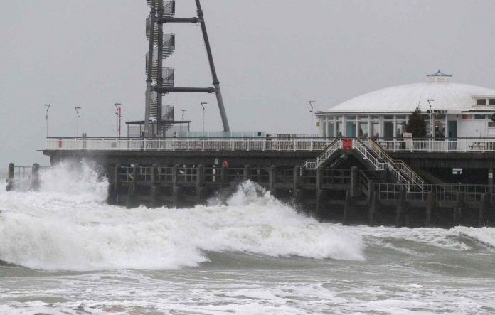
Will Hurricane Dorian affect UK weather? Storm won’t hit Britain, but it could bring unsettled conditions.
September marks the peak of the hurricane season with not one, but two ex-tropical storms affecting the British Isles this week. Firstly will come the remains of ex-hurricane Dorian that’ll pass to the North mid-week, with ex-Gabrielle following on bringing humid conditions to southern and central parts for a while on Thursday. But don’t worry, as they’ll be nothing more than vigorous Atlantic systems bringing a couple of bouts of wet and windy weather.
Sometimes these storms can be beneficial to us, as they interfere with the Jet Stream causing it to buckle. This’ll encourage pressure to rise sharply after the passage of ex-Gabrielle, with the prospects for next weekend looking fine particularly for central and southern areas.
We currently have several slow-moving bands of rain through the spine of the country, in a mostly dull start to the new working week. Some of the rain is heavy, particularly over South Wales, the South West and the Channel Islands, where you could well hear some thunder through the day. It’s not wet everywhere though, with East Anglia, the far East of England and parts of central southern England still dry. The Northern Isles and the far East could well remain dry, but be prepared for a shower mostly this morning. The rain will turn lighter and more patchy through the day, allowing a few sunny intervals to come through later.


