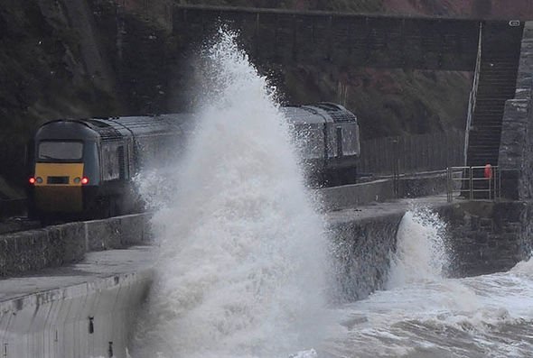
The Met Office has issued severe weather warnings for wind and rain across swathes of the nation. Flooding poses a serious threat in the north, while further south wind gusts are expected to reach up to 65mph. Storm Erik has already claimed the life of a 50-year-old man in Devon, killed when a tree fell on his car.
Where is the storm now?
As you can see by the real-time map below, at the time of writing, Storm Erik is directly on top of the UK right now.
As the day moves on, the storm will begin to blow over, and the warnings are due to expire by 3pm.
However it’ll stay blustery and unsettled for most, and Sunday shows much of the same, with a big band of rain coming in behind the storm.
Met Office warnings in place:
WIND WARNING
Timing: Currently in place, expires Saturday 2pm
Regions affected: East Midlands; East of England; North East England; North West England; Wales; West Midlands; Yorkshire & Humber
Details: A swathe of very strong westerly winds is expected to move east through Saturday morning, easing from the west during the day.
Inland gusts of 55 mph are expected quite widely, with some places having gusts to 65 mph, more particularly around exposed coasts and hills.
RAIN WARNING
Timing: Currently in place, expires Saturday 3pm
Regions affected: Central, Tayside & Fife Grampian Highlands & Eilean Siar Strathclyde
Details: Rain will spread east early on Friday, gradually becoming persistent and heavy, especially over high ground.
Rain will clear to the east in the evening, but with frequent heavy showers following.
Expect 20-30 mm of rain widely across the area, with up to 60 mm over high ground.
Melting of snow will contribute to the risk of flooding.


